Advanced Remote Sensing Analysis in QGIS & Open Cloud Tools

Why take this course?
🌏 Advanced Spatial Analysis Mastery: Explore and Understand Remote Sensing Data like Never Before!
Course Headline:
🚀 Advanced spatial analysis in QGIS & using cloud computing tools: change detection, time series analysis, trends & more 🚀
Course Overview:
Unlock the secrets of our planet with a deep dive into advanced geospatial analysis through this cutting-edge course on Remote Sensing and GIS in QGIS, EO browsers, AppEARS, and more. This is not just another course—it's your gateway to mastering complex spatial data analysis techniques that will set you apart as a professional in the field.
Course Highlights:
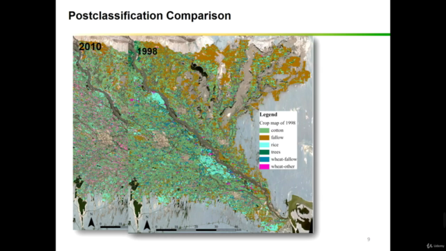
- In-Depth Change Detection Techniques: Learn sophisticated methods like data differencing, post-classification comparison, and time series analysis to analyze change over time.
- Cloud Computing Mastery with EO Browser & AppEARS: Gain hands-on experience with cloud computing tools that will revolutionize your geospatial workflow.
- Advanced Image Analysis: Tackle complex data sets with ease using state-of-the-art image analysis techniques tailored for environmental applications.
Course Prerequisites:
This intermediate to advanced level course is designed for learners who have a solid foundation in GIS and Remote Sensing concepts. It's highly recommended to complete a fundamental course on these topics before diving into this advanced curriculum.
Course Objectives:
Upon completing this course, you will:
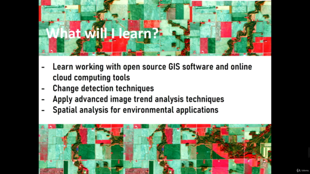
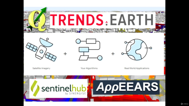
- Work proficiently with open-source GIS software (QGIS) and cloud computing tools (Trends Earth, Semi-Automated Classification Plugin, EO browsers, AppEARS data portal).
- Understand and apply change detection techniques in practical scenarios.
- Execute advanced image analysis with confidence using cutting-edge software and cloud resources.
- Master open-source GIS tools for comprehensive environmental applications analysis.
- Conduct sophisticated spatial analyses that will make a real-world impact.
What You Will Achieve:
By the end of this course, you will:
- Be adept at advanced geospatial analysis within QGIS and leveraging cloud computing.
- Have the skills to perform complex geospatial applications using open-source GIS software and tools.
- Be prepared for a multitude of geospatial analysis possibilities, armed with free and open-source toolsets.
Practical Hands-On Experience:
This course is packed with practical exercises that will give you the confidence to apply what you've learned. You'll receive detailed instructions, scripts, and datasets to guide you through advanced geospatial analysis.
Course Inclusions:
Enrolling in this course grants you access to all course materials, including data, scripts, and future resources. Embark on a transformative journey with us and emerge as an expert in advanced spatial analysis!
Join Kate Alison for this unparalleled learning experience and elevate your career to new heights! 🎓✨
Course Gallery


Loading charts...