A Comprehensive Guide to PostGIS and Spatial Queries

Why take this course?
🎉 Unlock the Power of Spatial Databases: Master PostGIS and Harness Spatial Queries for Geospatial Excellence 🎉
Course Overview:
Embark on a transformative journey with Obaidi Pediacourse's "A Comprehensive Guide to PostGIS and Spatial Queries" and become a pro at handling geographic information systems (GIS) in the realm of spatial databases. This course is your golden ticket to mastering PostGIS – an open-source solution for geospatial database development that extends the functionality of PostgreSQL.
What You'll Learn:
Foundational Knowledge:
- Introduction to PostgreSQL: Understand the basics and the significance of PostgreSQL as a robust foundation for PostGIS.
Building Databases & Importing Data:
- Setting up your PostGIS environment.
- Mastering the PostGIS loader for efficient table importation.
Spatial SQL Mastery:
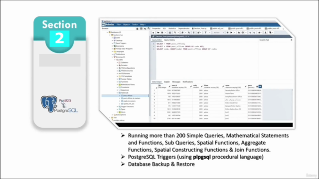
- Crafting effective SQL statements and queries.
- Executing SELECT, INSERT, UPDATE, and DELETE commands with spatial precision.
Advanced Spatial Functions & Operations:
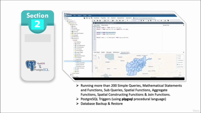
- Exploring a wide array of PostGIS spatial functions.
- Diving into mathematical operations for spatial data analysis.
- Understanding Coordinate Reference Systems (CRS), EPSG, and SRID for accurate spatial queries.
Spatial Tables & Data Management:
- Creating spatial tables from scratch.
- Inserting and manipulating spatial values with ease.
- Importing various file formats into PostGIS.
Spatial Aggregate Functions:
- Utilizing spatial aggregate functions for data summarization.
- Conducting spatial joins to combine datasets with shared geometries.
PostgreSQL Features & GIS Integration:
- Implementing triggers and event-driven operations.
- Managing database backups and restores to ensure data integrity.
- Leveraging EPSG codes in ArcGIS Pro, QGIS, and PostgreSQL for base map reference.
Real-World Applications & Visualization:
- Applying your newfound skills to real-world datasets and scenarios.
- Gaining insights into spatial data visualization for impactful presentations.
Why Take This Course?
-
Hands-On Experience: Engage with practical exercises and real-world examples to solidify your learning.
-
Expert Guidance: Learn from an industry expert who brings years of experience in GIS and spatial databases.
-
Flexible Learning: Access the course materials at your own pace, from any location – learn without constraints!
Who Is This Course For?
This course is perfect for:
- GIS Enthusiasts looking to expand their skill set with spatial databases.
- Data Scientists aiming to incorporate geospatial analysis into their toolkit.
- Professionals in Urban Planning, Environmental Science, and more, who need to analyze location-based data effectively.
Ready to Get Started?
Join a community of learners and professionals who are enhancing their geospatial knowledge with PostGIS and spatial queries. Enroll in "A Comprehensive Guide to PostGIS and Spatial Queries" today and take your first step towards becoming a geospatial expert! 🌏🔍💻
Course Gallery


Loading charts...