A Comprehensive Course on GIS (Part 2 - Web GIS)

Why take this course?
🌐 A Comprehensive Course on GIS (Part 2 - Web GIS): Mastery with HTML, CSS, Bootstrap, JavaScript, jQuery, PHP, Leaflet, TurfJS & Echarts
🚀 Course Headline:
Master in HTML, CSS, Bootstrap, JavaScript, jQuery, PHP Basics, Leaflet, TurfJS, & Echarts Libraries plus GeoServer API
Course Description:
Welcome to the second installment of our comprehensive GIS series, where we delve into the vibrant world of Web GIS. This advanced course is meticulously crafted to elevate your skills in web development and geospatial science, enabling you to build sophisticated, interactive, and visually stunning Geographic Information Systems (GIS) applications.
📚 What You'll Learn:
-
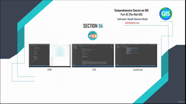
HTML Fundamentals: We'll start with the building blocks of the web, mastering HTML to create robust web page structures that serve as the foundation for your GIS projects.
-
CSS Styling: Add beauty and form to your web pages with CSS. Learn to design interfaces that are both functional and visually captivating for your users.
-
Bootstrap Framework: Discover the power of Bootstrap, which will accelerate your development process by providing a suite of components and tools to build responsive and mobile-friendly GIS web applications with ease.
-
JavaScript Essentials: Step into the interactive world of JavaScript, where you'll manipulate geographic data and enhance user experiences within your Web GIS platforms.
-
jQuery Library: Simplify complex JavaScript tasks with jQuery, making it easier to manage events, animations, and AJAX in your applications for a smoother user interaction.
-
PHP Basics: Explore the capabilities of PHP to handle dynamic data processing, ensuring that your GIS applications can serve personalized content and maintain user engagement.
-
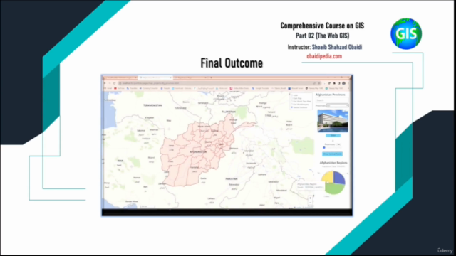
Leaflet Library: Utilize Leaflet, an open-source library, to create customizable, interactive maps with a variety of base-maps and overlays, tailored to your specific needs.
-
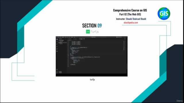
TurfJS Library: Perform spatial analysis directly in the browser using TurfJS, which allows you to execute complex geospatial queries and operations that enhance the analytical prowess of your Web GIS applications.
-
Echarts Library: Learn to visualize your data in compelling ways with Echarts, a versatile library for creating dynamic and informative charts and maps.
-
GeoServer API: Access and manipulate geospatial data through the powerful GeoServer API, enabling you to render maps and query features in web applications.
🎓 Learning Outcomes:
By completing this course, you will have a deep understanding of the following:
- How to design, develop, and deploy GIS web applications using modern web technologies.
- The intricacies of integrating geospatial data with user-friendly interfaces.
- Advanced techniques for visualizing and analyzing spatial data on the web.
Who Should Take This Course:
This course is perfect for:
-
GIS Professionals: Expand your skill set to include modern web technologies, enhancing your ability to create advanced GIS applications.
-
Web Developers: If you're looking to specialize in the geospatial domain, this course will provide you with the tools and knowledge to do so effectively.
-
Students & Enthusiasts: Passionate about maps, data, and geospatial technology? This course will help you harness that passion into practical skills and real-world applications.
Why Enroll?
🌟 Unlock the Power of Web GIS: Master the integration of web development technologies with spatial data to build cutting-edge mapping applications.
🛠️ Hands-On Learning: Combine theoretical lessons with practical exercises and real-world projects for a comprehensive learning experience.
🌍 Real-World Application: Apply your skills to create meaningful, impactful GIS web applications that can be used in various industries and sectors.
Embark on this transformative learning journey today and become a key player in the exciting field of geospatial technology. 📡✈️ Let's map the world together with Web GIS! Enroll now and start shaping the future of geospatial data visualization and analysis.
Course Gallery


Loading charts...