A Comprehensive Course on GIS (Part 1 - The GIS Tools)

Why take this course?
🌟 Embark on a Journey with A Comprehensive Course on GIS (Part 1 - The GIS Tools) 🌟
Master in GIS Development Tools
Are you ready to dive into the world of Geographic Information Systems (GIS) and unlock the potential of cutting-edge GIS Development Tools? Enroll now and join us on a transformative journey that will equip you with the skills to create, query, and visualize spatial data like never before!
Course Overview:
Welcome to Part 1 of our immersive GIS adventure - The GIS Tools! This course is meticulously designed for both novices and seasoned professionals, offering an in-depth exploration of essential GIS development tools. From spatial data creation to web API development, you'll cover all the fundamentals and beyond.
Module Breakdown:
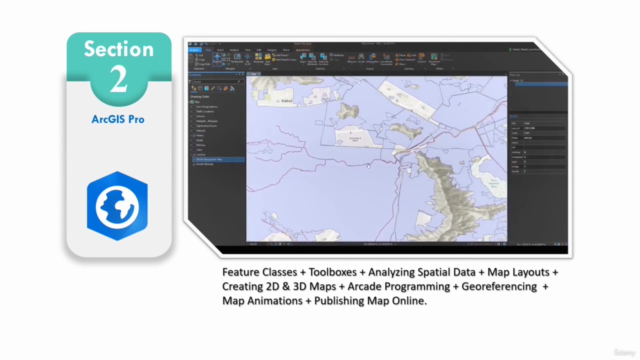
Mastering ArcGIS Pro:
📍 Learn to create various spatial data types with ease. 📍 Dive into geo-processing, spatial analysis, and insightful mapping techniques. 📍 Master the art of styling maps in 2D & 3D, complete with animations. 📍 Export your creations in multiple formats to share your work with the world.
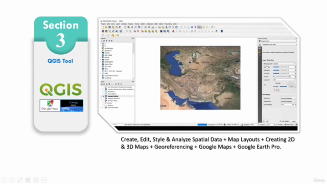
Unleashing the Potential of QGIS:
📍 Explore the open-source capabilities of QGIS for visualizing and analyzing spatial data. 📍 Gain proficiency in managing datasets and creating engaging visualizations.
Visualizing in 2D & 3D with Google Earth Pro:
📍 Discover how to work with KML/KMZ files in a captivating 2D and 3D environment. 📍 Learn to communicate findings effectively with immersive visualizations.
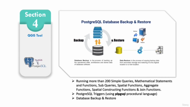
Harnessing the Power of PostgreSQL RDMS (with PostGIS):
📍 Understand spatial databases and how to run powerful spatial queries. 📍 Connect PostgreSQL with GeoServer to enhance your data management capabilities.
Publishing geometry-based APIs with GeoServer:
📍 Seamlessly connect GeoServer with QGIS and PostgreSQL RDMS for dynamic spatial data handling. 📍 Learn to provide APIs to web applications, transforming user interaction with geospatial data.
Real-World Projects and Hands-On Experience:
Throughout the course, you'll engage in real-world projects that will allow you to apply your skills to practical scenarios. You'll tackle challenges in areas such as urban planning and environmental analysis, building a robust portfolio and demonstrating your newfound GIS expertise.
Join Us on this GIS Odyssey:
I am excited to guide you through this enriching experience. By the end of this course, you will be a proficient GIS developer, adept in using ArcGIS Pro, QGIS, Google Earth Pro, PostgreSQL RDMS with PostGIS, and GeoServer. You'll have the skills to create spatial data, run spatial queries, and build web APIs—opening up a wealth of opportunities in the geospatial technology sector.
Note:
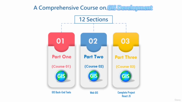
Keep an eye out for Part 2 of our comprehensive course, where we will delve into advanced GIS concepts, explore intricate spatial analysis techniques, and cover web mapping with hands-on exercises to further solidify your skills and knowledge in the field of GIS.
🔍 Ready to embark on this journey? Sign up today and take your first step towards becoming a GIS expert! 🚀🌫️
Course Gallery


Loading charts...